Hiker's Guide to the Seoul Dulle Gil (157 KM)
The sun hung low in the sky, glowing scarlet orange. Barren trees cast long shadows across the cold sidewalks. We were in a race against the clock, with less than two hours before total darkness to complete the remaining few kilometers of the Seoul Dulle Gil. We were leaving South Korea in two days and this was our last chance to finish the 8-stage, 157-kilometer trail that circles the perimeter of Seoul. We cinched our backpacks tight and started jogging to the trailhead.
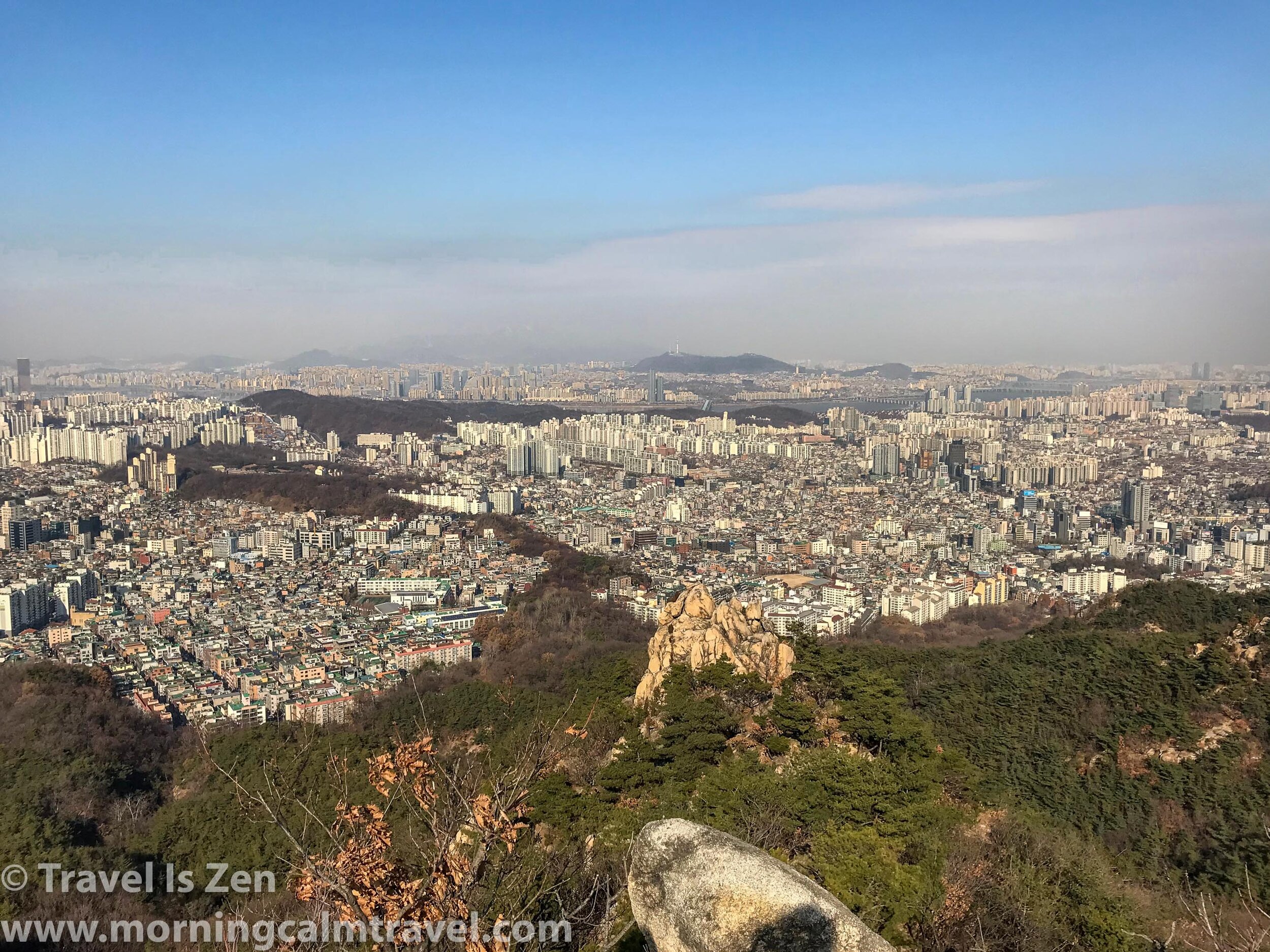
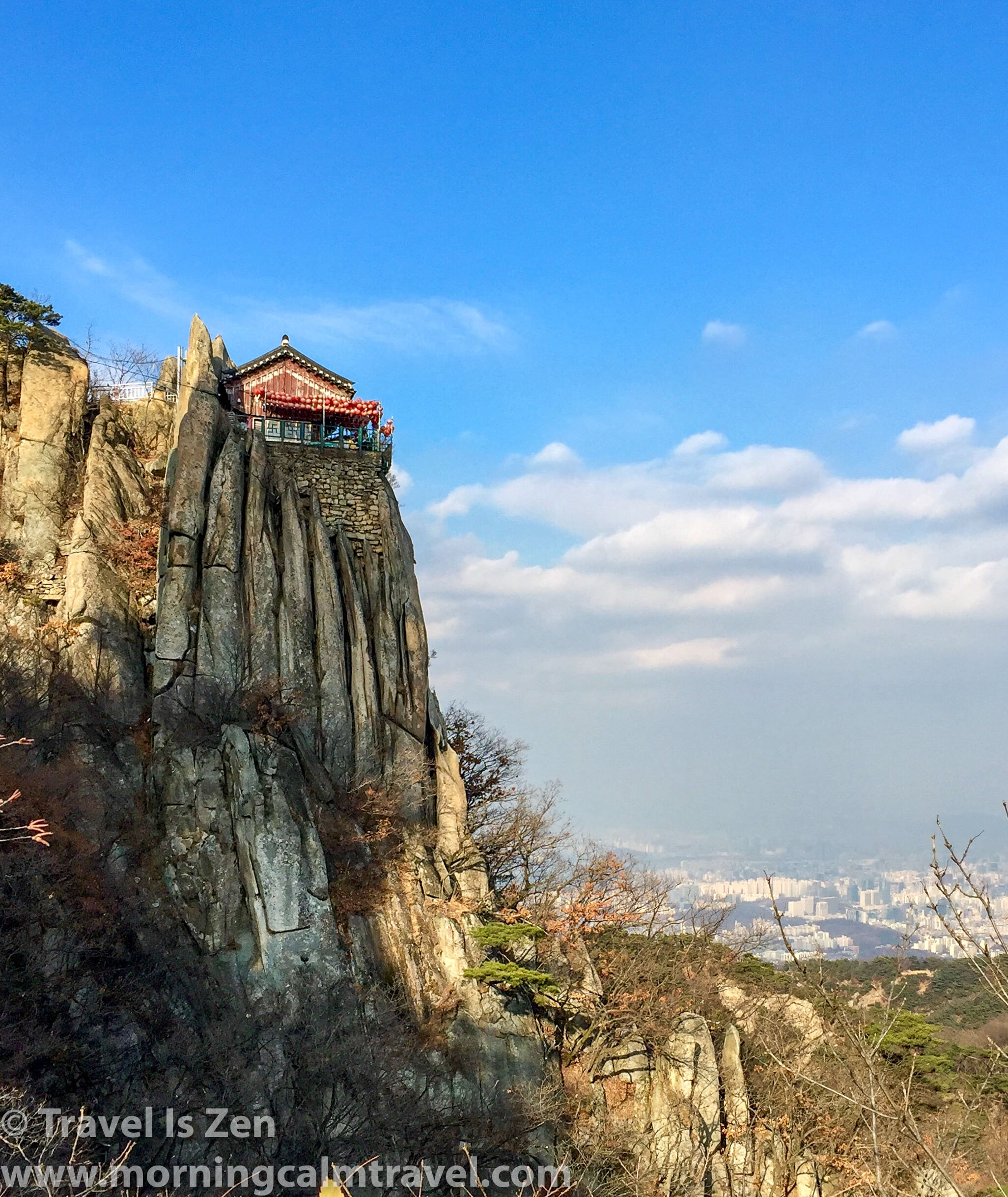
“Son of a…,” I didn’t bother to complete the phrase. At the trailhead, the path veered straight up the side of an impossibly steep hill. That’s the thing about the Dulle Gil: you never know what you are in for. It could be a literal walk in the park alongside a stream or it could be a rock scramble to a temple; it might be 570 stairs to the summit or an undulating path with a soft woven straw mat underfoot. Every section is different.
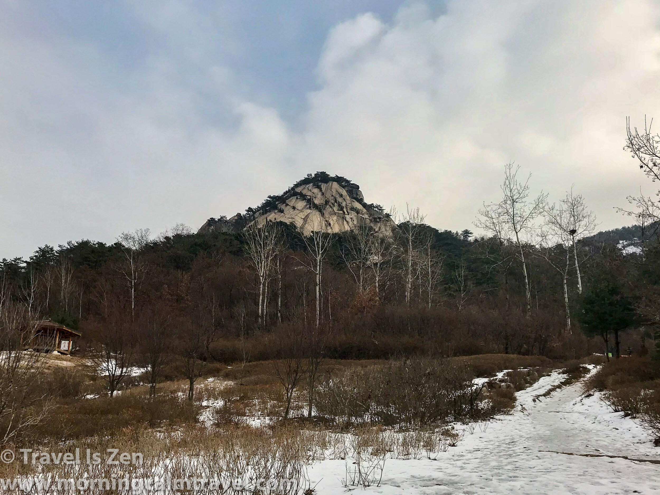
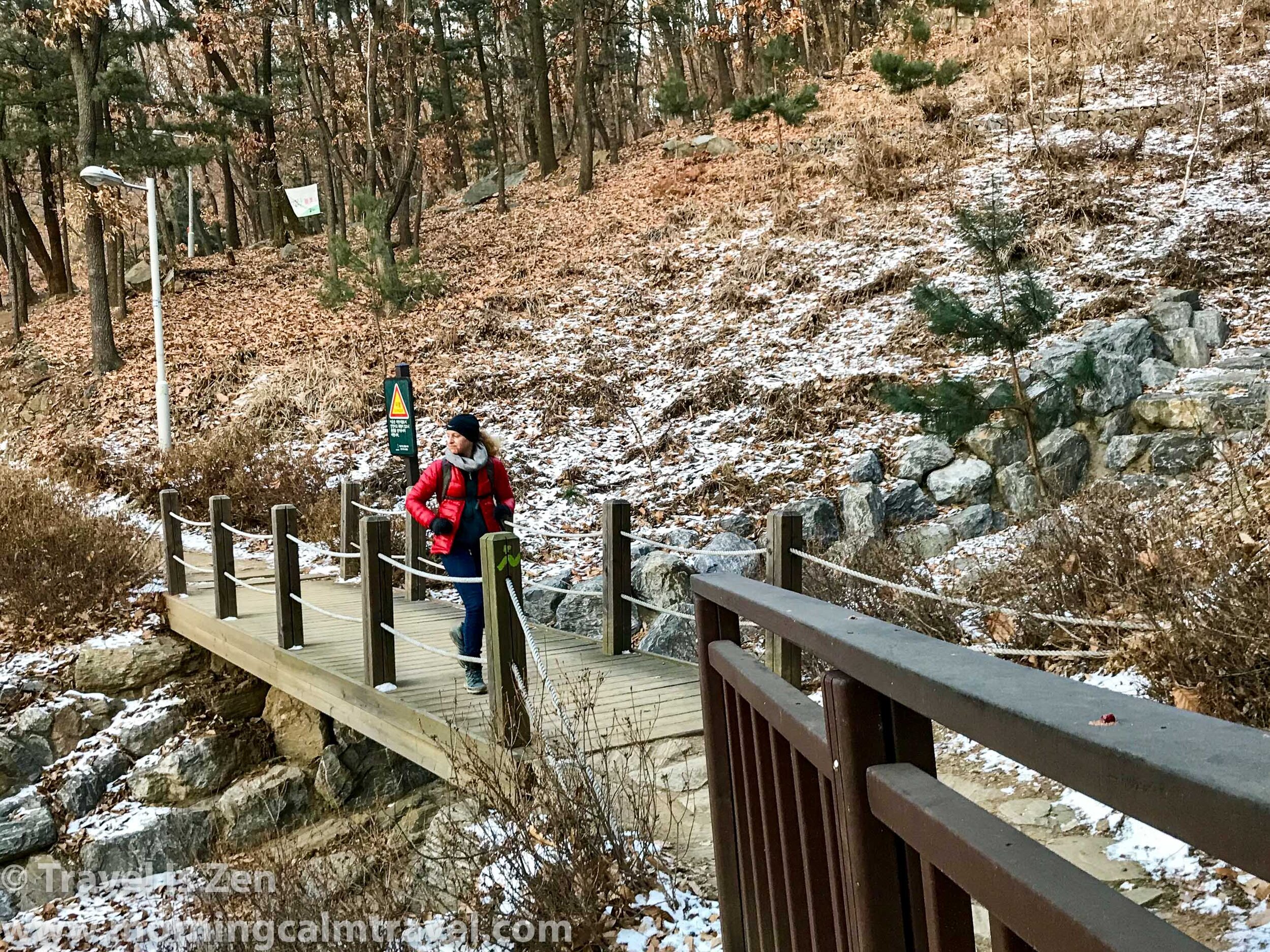
Our pace slowed as we huffed and puffed to the top. There is no such thing as a switchback in Korea. It’s straight up (or down) and best of luck to you. Along the ridgeline, we jogged again in the dimming light, watching for icy patches. We had been lucky, really, considering it was winter. Although we had hiked a few days in a couple inches of snow and dealt with some pretty challenging ice patches, the conditions overall during our 11 days of trekking in December and January had been tolerable. Temperatures held steady in the 20’s (fahrenheit), with minimal wind.
The sun was a sliver of firey red. We hustled the last 1,000 meters as we had the previous 156 kilometers -- jogging the flats, slowing to aggressive long strides on the inclines, trekking poles digging into the frozen dirt, ice, and snow. The territory became familiar now, as we realized that this is where it had all began. We had come full-circle, arriving at our last red postbox where, with huge smiles and whoops of accomplishment, we inked our 28th and last stamp into our passbook.
ABOUT THE SEOUL DULLE GIL
The Seoul Dulle Gil is divided into eight sections ideal for day hikes. Each section trailhead is near a subway stop for easy accessibility. Whether you are in Seoul for the weekend, the month, or the year, a hike is just a short metro ride away. We had a blast collecting the 28 stamps as we hiked the 157 kilometer (~97 miles) course. The stamps helped us remember which sections we had hiked and gave us a goal to work toward in each section. You can get your passbook at Seoul City Hall or several city park offices (check the website).
※ Eight Stages of the Seoul Dulle Gil ※ Click for details about each section.
① Suraksan and Bulamsan Mountain (~9 miles) — ADD IN A SUMMIT TRAIL for more exciting views
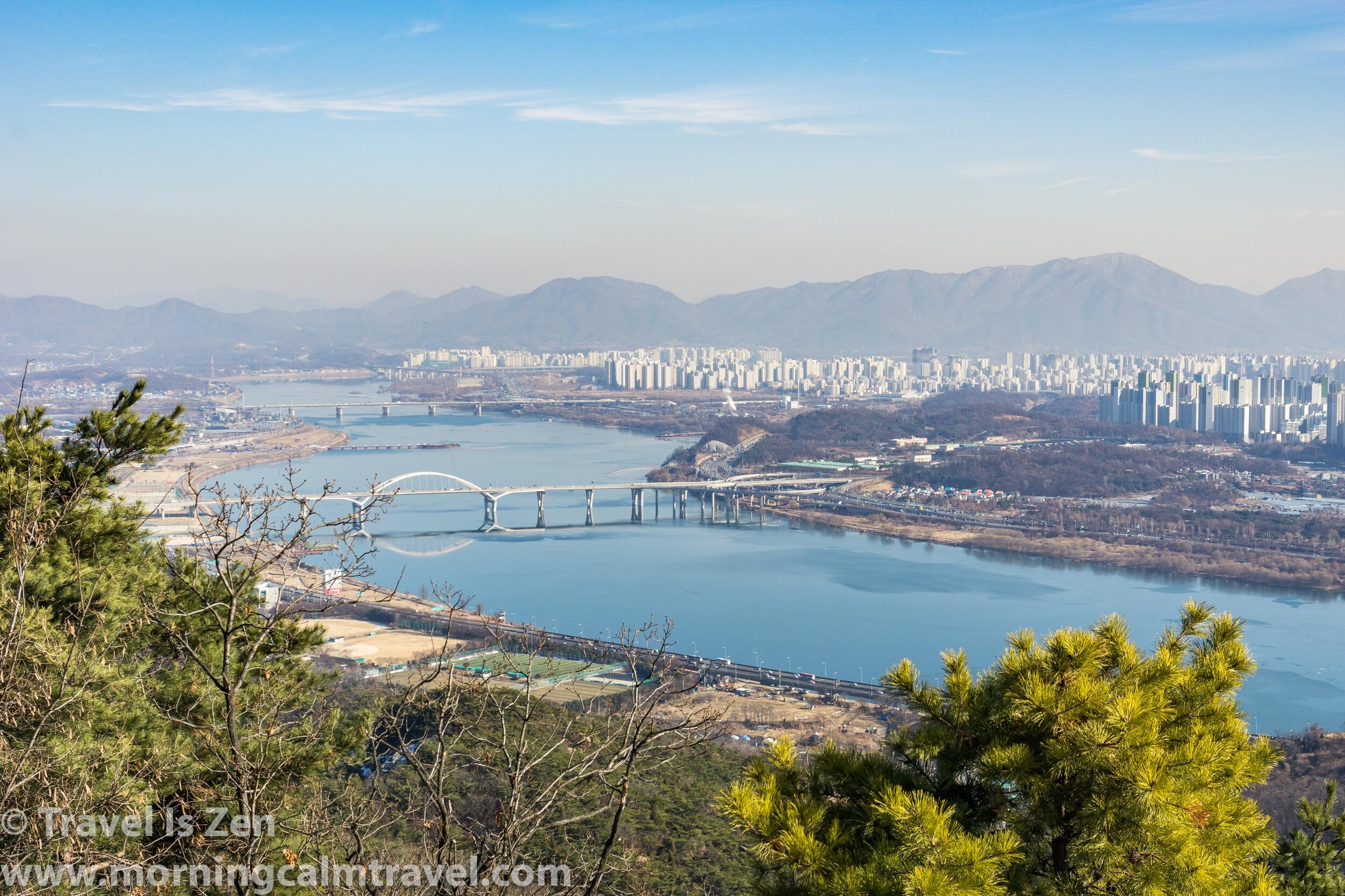
② Yongmasan and AchasanMountain (~8 miles) — COOL LOOKOUT AT ACHASAN
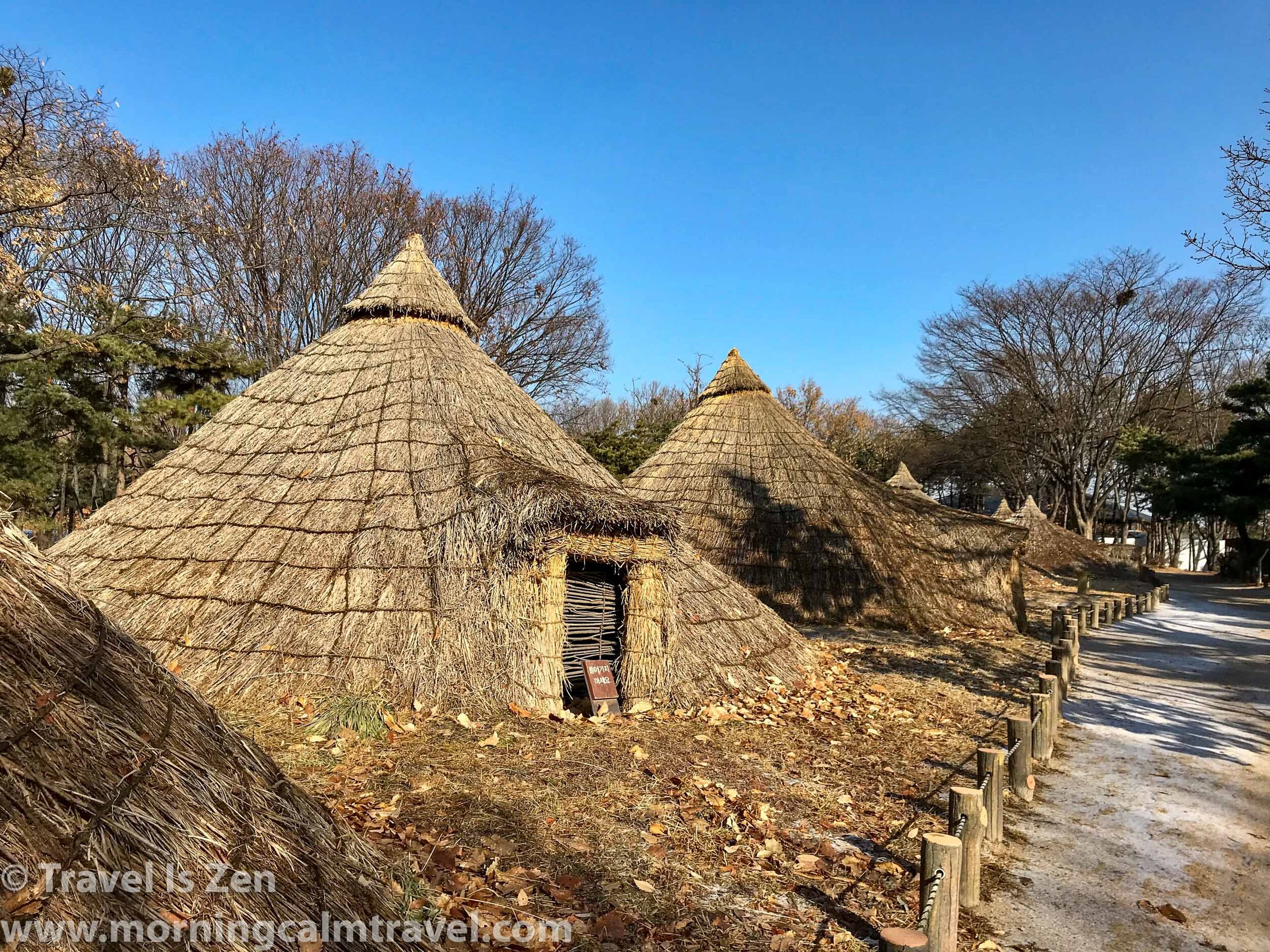
③ Godeoksan and Iljasan Mountain (~16 miles) — NEOLITHIC VILLAGE AND DRONE PARK
④ Daemosan and Yangchae Citizens Park (~11 miles) — TRAGIC EVENTS MEMORIALS
⑤ Gwanaksan Mountain (~8 miles) — FAVORITE #1, HILLY, LOADS TO SEE
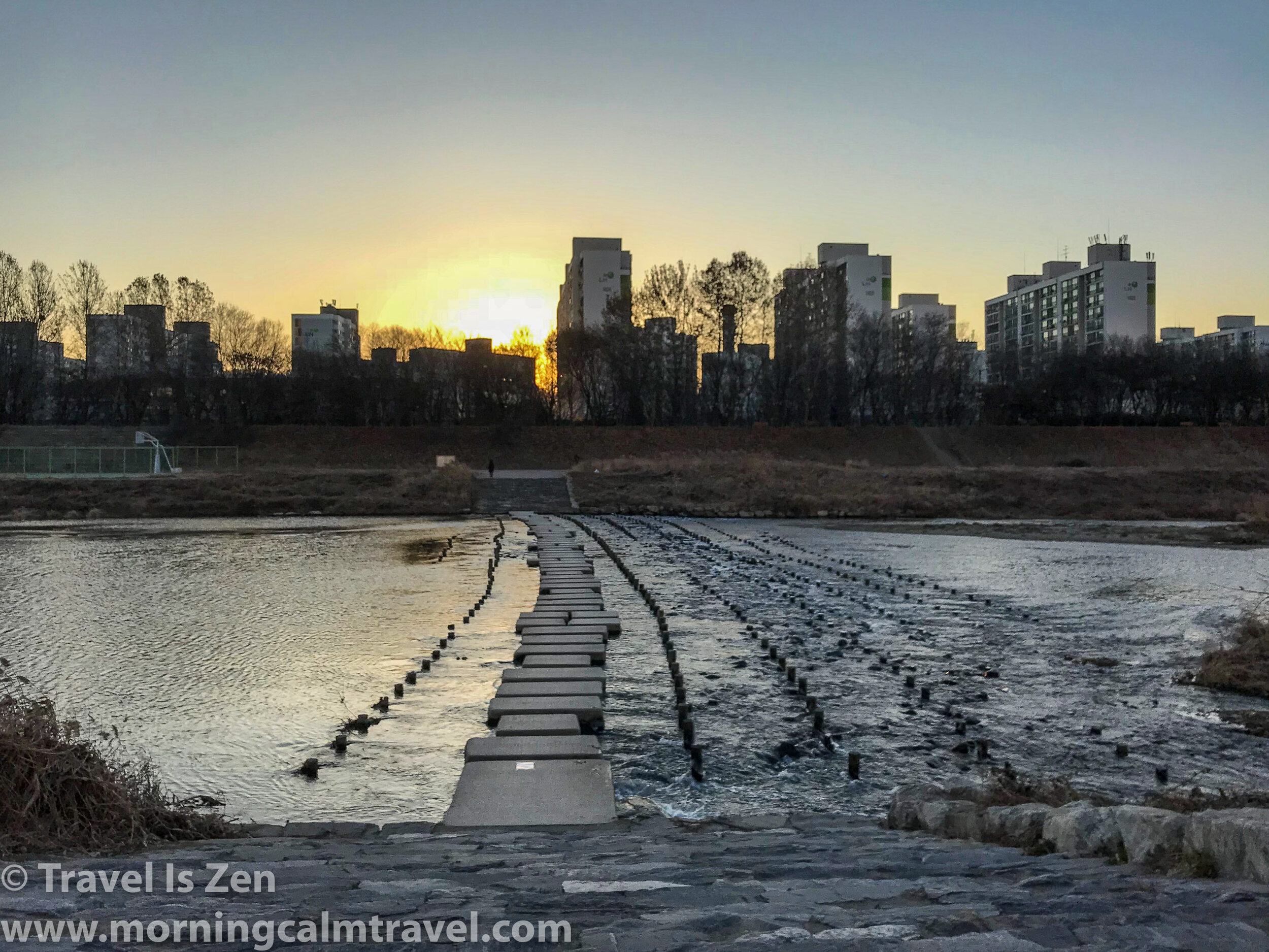
⑥ Anyangcheon Stream (~11 miles) — PANCAKE FLAT TRAIL, BUT SCENIC
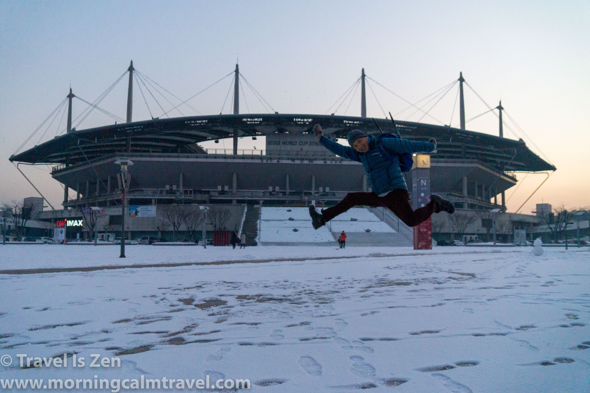
⑦ Bongsan and World Cup Stadium Park (~10 miles) — MOSTLY FLAT
⑧ Bukhansan Mountain and Pyeonchang-dong (~21 miles) — FAVORITE #2, HILLY
Click HERE for official English-language information about the Seoul Dulle Gil, trail maps, the nearest trailhead, and passbook information.


