Annapurna Circuit Day 13: Muktinath to Kagbeni
Day 13 April 4, 2018: Muktinath (3710m) to Kagbeni (2804m), distance: 9 miles, duration: 4h 45m, elevation gain: -906m, ascended: 666 feet, descended: 3018 feet, food: $27.80, lodging: $5.00 at Asia Hotel, total distance to date: 94 miles
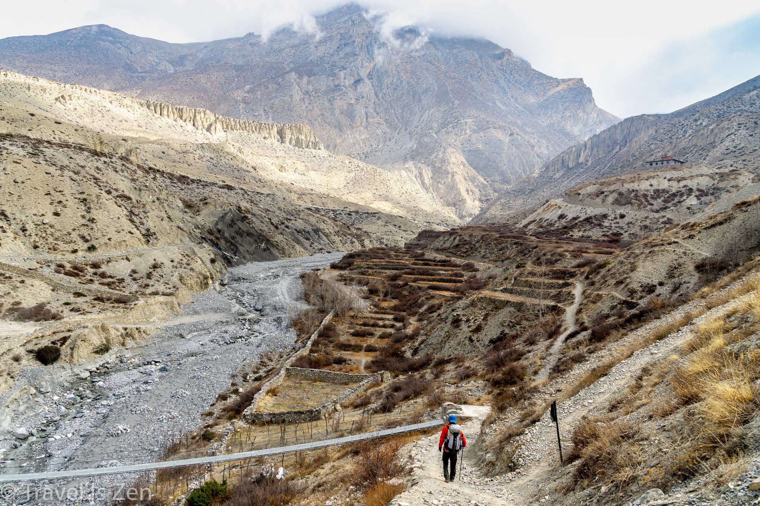
The Western side of Thorong-La Pass presents an arid landscape in and around Muktinath. A persistent wind whips across the terrain, chiseling escarpments and carving small canyons into the sandstone and sedimentary detritus swept down the mountain. This vast fluvial fan extends down to the Kali Gandaki River 1,000 meters below. Despite descending over a mile from the top of the Pass two days ago, we are still over 12,000 feet in elevation.
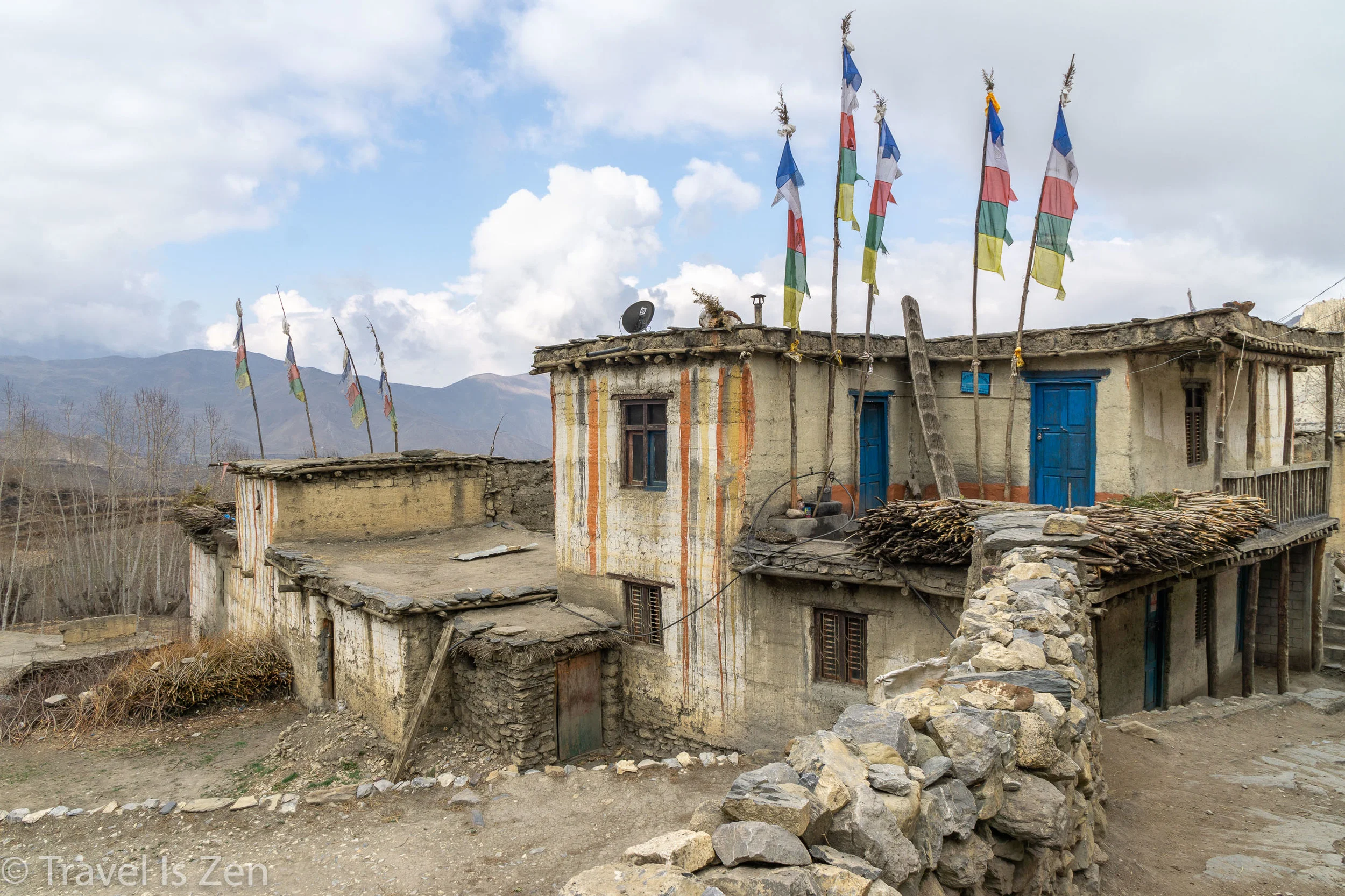
Today, in light jackets, we followed the debris flow downwards to Kagbeni, along a lonely dirt road void of vehicles and snow. This is the Mustang (pronounced "MOOstang) district, formerly a Tibetan kingdom and now inhabited by a large population of Tibetans and Thakalis. The architecture on this side of the Pass is distinctive. While many of the villages on the eastern side of the Pass were originated or expanded to serve the increasing volume of Annapurna Circuit trekkers, the villages on the western side have a long, important history of trans-Himalayan trade and mercantilism. As we walked past the fertile fields of Jhongur and Putak, people were going about their lives, un-intrigued by our foreign presence. We were not propositioned for tea, lunch, or choc-o-late one time. In Jhongur, a man went out of his way to get the key to the Buddhist monastery so we could take a look inside and then refused our tip for his help. Different world on this side of the Pass.
The road meandered a couple of miles through these colorful hamlets. After crossing a wide, dry creek bed, however, it was just us and the dust for hours.
road to Kagbeni
Reaching the great Kali Gandaki River, which carries water from the High Himalayas in Tibet to the Ganges River in India, I was quite surprised by its appearance. Within the wide, rocky basin, the river was just a narrow stream in the dry season. It must be quite a sight during the summer monsoons, though! After hours of brown, our eyes were drawn to a green oasis across the river. We thought it was Kagbeni, but the the road turned abruptly south. We climbed up and through a strange, solidified mud embankment, squeezing through a narrow crevasse. Then the view opened up to the verdant fields of Kabeni.


